Contributeto QRZ
Login is required for additional detail.
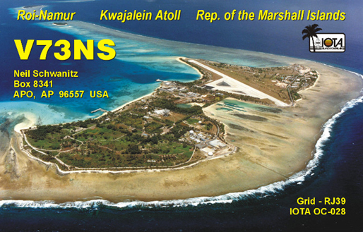
QSL: WD8CRT or LOTW
Page managed by WD8CRT Lookups: 398699
16302593 Last modified: 2026-04-19 15:32:41, 3239 bytes
Login Required
You must be logged in to file a report on this page
Please login now...